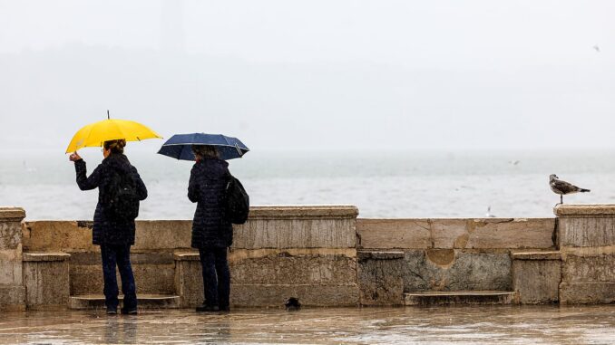
After consecutive weeks of storms, the rain should give some respite this Saturday, the day on which, according to the Portuguese Institute of the Sea and Atmosphere (IPMA)the sky will be “generally slightly cloudy, with a temporary increase in cloudiness”.
This increase in cloudiness may be accompanied by “Occurrence of light showers in the North and Central coast, which will be snow above 800/1000 meters of altitude until early morning”. But nothing compared to the intense rains we have seen.
“Weak to moderate winds (up to 30 km/h) from the north/northwest are also expected, blowing moderate to strong (30 to 45 km/h) on the west coast and in the highlands, with gusts of up to 75 km/h and 90 km/h, respectively, gradually decreasing in intensity from the morning onwards”, and a “small drop in minimum temperature” is also expected, with Lisbon varying between 9ºC and 14ºC and Porto between 8ºC and 14ºC.
For Sunday, “periods of very cloudy skies are expected, appearing very cloudy north of the Montejunto-Estrela mountain system”.
Expected “periods of generally light rain in the North and Center regions, being more frequent in Minho and Douro Litoral from the afternoon onwards”as well as “weak to moderate wind (up to 30 km/h) from the western quadrant, blowing moderate to strong (30 to 45 km/h) in the highlands” and a “small drop in minimum temperature”, with Lisbon oscillating between 9ºC and 15ºC and Porto between 8ºC and 14º C.
The same scenario is predicted for the beginning of next week, with “periods of rain in the North and Center regions, being more frequent in Minho and Douro Litoral” on Monday; and “light showers in the North and Center regions, being more frequent in Minho and Douro Litoral until late morning” on Tuesday.

Leave a Reply