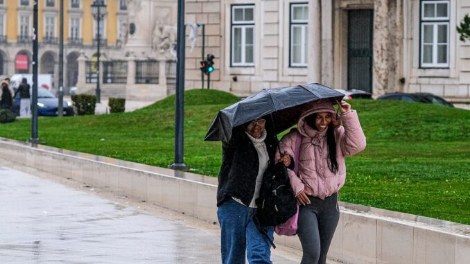
The weather in mainland Portugal will continue to be affected by heavy and persistent precipitation on Tuesday and Wednesday due to an air mass with tropical characteristics, according to meteorologist Ângela Lourenço.
“The weather in mainland Portugal will continue to be affected by a disturbed westerly current, which means that from today onwards we will have the influence of an air mass with tropical characteristics, with a high water content. It is a very humid air mass that will bring persistent precipitation, at least in the first part of the week, at least until the 11th [quarta-feira]”, he added.
According to the meteorologist at the Portuguese Institute of the Sea and Atmosphere (IPMA), on Tuesday and Wednesday, mainland Portugal will experience some episodes of more intense and more continuous precipitation.
“For day 10 [terça-feira] Orange level precipitation warnings have already been issued for Viana do Castelo, Braga, Porto, Vila Real, Aveiro and Viseu. It is expected that there will be a more critical period here, in which the accumulated precipitation values are significant and hence the orange level of precipitation”, he indicated.
According to Ângela Lourenço, on Tuesday the rain is expected to be lighter in Baixo Alentejo and Algarve.
“These episodes with more intense precipitation, particularly the 11th [quarta-feira]may be accompanied by wind. It is not expected that the 10th [terça-feira] there is a very strong wind, but in any case these situations always bring stronger gusts in the highlands”, he said.
Ângela Lourenço said that from Thursday a slight reduction is expected.
“But in any case, precipitation will always continue to occur and the wind will continue to blow with some intensity. Over the weekend, it is possible that there will perhaps be a slowdown in the occurrence of precipitation here. The movement of the anticyclone further north will allow us to not be so affected by these frontal swells and air masses with high water content”, he said, highlighting that there is still a low level of confidence for this scenario.
With regard to temperatures, according to Ângela Lourenço, they will be above normal for the time of year, for the month of February.
“Exactly because this mass of tropical air predominates, with tropical characteristics, temperatures tend to rise. We are talking about minimums near Lisbon of the order of 14/15 and maximums of 17/18 degrees. In the interior, colder areas, minimums of between 04 and 06 degrees and maximums of 09/12 are expected for Serra da Estrela”, he said.
From Thursday onwards, according to the IPMA meteorologist, a significant drop in temperatures is expected.
Lusa

Leave a Reply